Maunaloa Report: Earthquakes Elevated, Down From Recent Peak, October 13, 2022
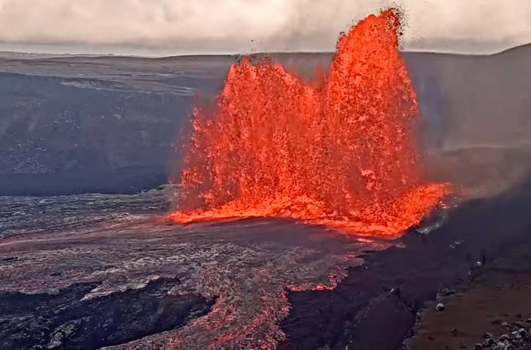
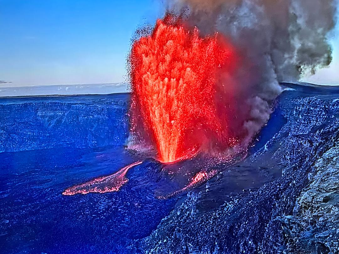
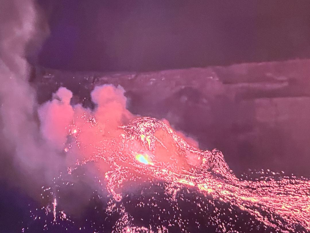
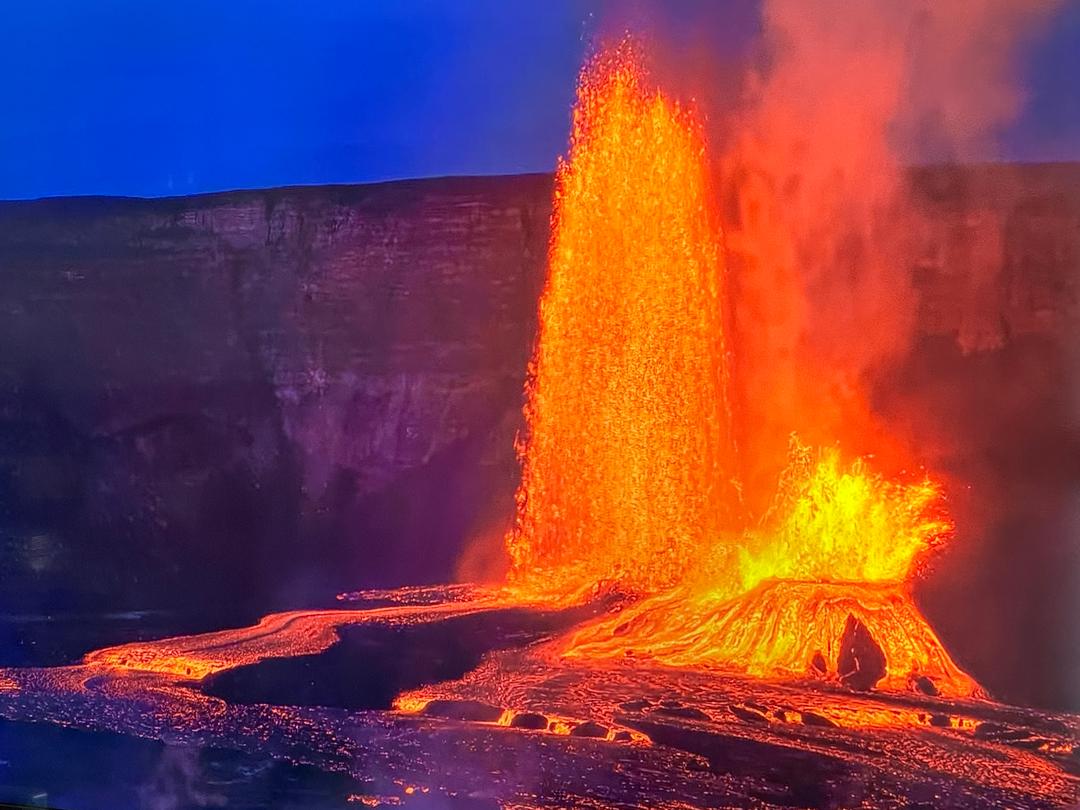
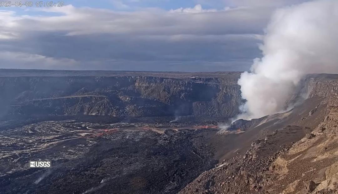
Earthquake counts under the summit of Maunaloa volcano remain elevated between 35 to 65 each day, but are only half as numerous as during their peak at the end of September. Three days in particular – September 23rd, 29th, and 30th – saw higher rates over or near 100 earthquakes each day before returning to their current moderate level for the past two weeks, still greater than the recent background of 10 to 20 events per day. Continued uplift of GPS stations above 12,000 feet or 3,700 meters in elevation indicates to the USGS Hawaiian Volcano Observatory that magma likely continues to intrude into the deeper parts of the volcano greater than 2 miles or 3 km below the surface, while its shallower regions are still adjusting to accommodate their recent infusion during the latter part of September. This is primarily evident through the elevated earthquakes, as the summit ground-tilt signal indicates little change since the start of October. Despite the intermittent occurrence of earthquake swarms every few months, recent modeling by Varugu & Amelung (2021) suggests magma has been intruding into Maunaloa at an elevated rate ever since 2014, but has been accommodated by movement of the volcano’s southeast flank. This pattern extends even further back to 2002, from when the flank is estimated to have moved by 15 feet or 4.5 meters along a 5.5 mile or 9 km length through 2020, accommodating about 53 billion gallons or 200 million cubic meters of magma. From the more recent increase in 2014 to 2020, the movement is estimated at 8 feet or 2.5 meters, and the filled volume at 29 billion gallons or 110 million cubic meters of magma – about the same amount of lava filling Kīlauea’s summit crater over the past year. Evidently, the massive input into Maunaloa over the past 20 years has been accommodated without the need for an eruption, and from this perspective, not much has changed. On the other hand, intermittent seismicity ramped up in the 2 to 3 years ahead of both the 1975 and 1984 eruptions, similar to the current pattern. Prudently, local authorities appear to be activating for the possibility of the worst-case scenario, a quick escalation towards eruption from Maunaloa’s Southwest Rift (MLSWR) where widespread impact is possible within hours, though history suggests those cases are uncommon. Of the 33 historical eruptions since 1843, 7 have occurred on the MLSWR, or 21%. Only once, in 1887, has a MLSWR eruption followed an eruption from the Northeast Rift in 1881, representing 3% of all historical eruptions, but that single case occurred during a more active phase of the volcano that ended in 1950. Nonetheless, Maunaloa’s last eruption in 1984 flowed from the Northeast Rift. Thus, while possible, the worst-case scenario would break most historical patterns. Most likely, Maunaloa’s next eruption will start and end at its summit, as was the case in 48% of historical eruptions. Those summit eruptions rarely impact built infrastructure, though facilities high in the Saddle such as the Maunaloa Weather Observatory or Pohakuloa Training Area are still exposed to some risk, should lava flows spill out of Mokuāʻweoweo caldera to the north. Historically, following at least one year after such an event, a MLSWR eruption becomes more probable. At that time, the first area at risk is Lava Zone 1 which includes the northeast portion of Hawaiian Ocean View Estates, where residents should prepare for the worst case in standard course, as that is a potential location for new eruptive fissures. Those new openings may not propagate down the rift as far as the populated area, yet would still threaten the circle-island highway and other development downhill. While none of this appears imminent, this level of consideration is offered to aid in residents’ planning. For now, it’s wise to plan and prepare for the worst, but not to expect it. As always, only time will tell what the volcano will do next. #Maunaloa #Maunaloa2022 — Note: We use the preferred spelling of the volcano by the local community as “Maunaloa”, though it has not yet been formally adopted by either the State or Federal Board of Geographic Names who still officially refer to it as “Mauna Loa”. — Join our weekly live video review of Kīlauea and Maunaloa volcanoes, at 5pm Hawaiʻi time Thursdays! To support our productions (for free) please like, share and subscribe! This content is funded by the Hawaiʻi County Waiwai Grant-In-Aid in association with Malama O Puna and by contributions from viewers like you! To donate, visit https://www.hawaiitracker.com/support. Mahalo! [Image: USGS graph of earthquake rates on Maunaloa over the past month. Number of earthquakes per day during the past month (blue bars). The red line is the cumulative moment (energy) release. ]