Weekly Kilauea Update - USGS Hawaiian Volcano Observatory
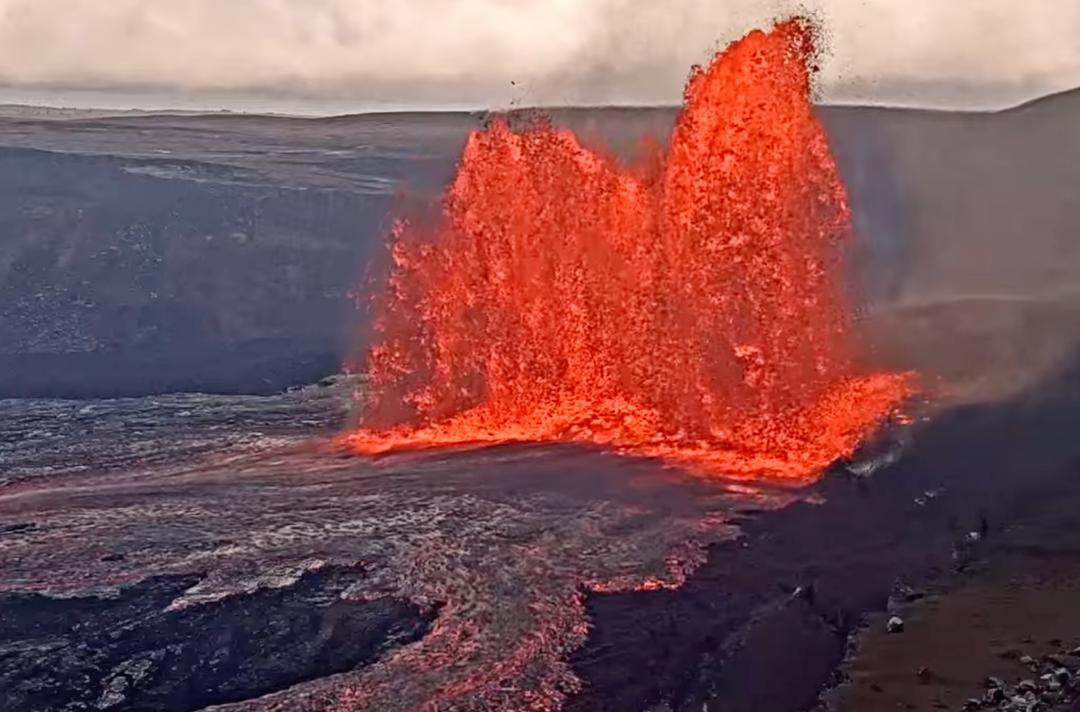
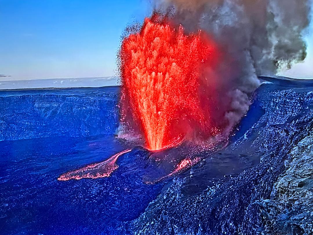
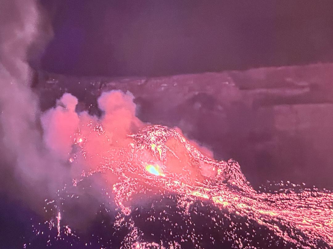
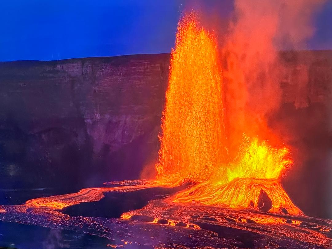
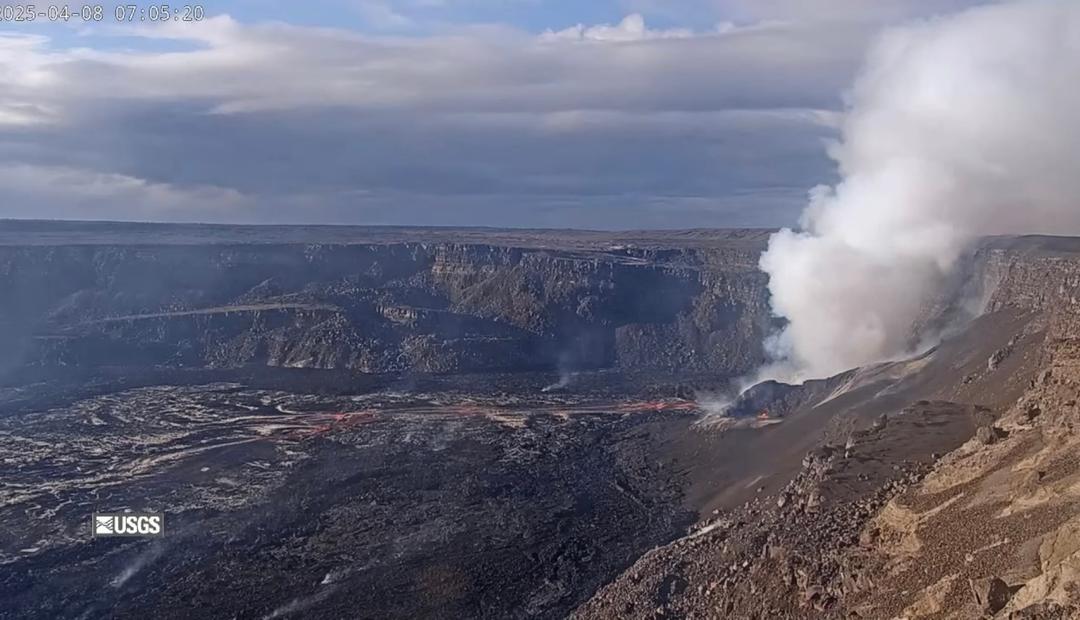
Activity Summary: Kīlauea volcano is not erupting. Earthquake rates beneath the southern part of Kīlauea’s summit caldera and extending to the southwest have decreased over the past 24 hours. Ground deformation in Kīlauea’s summit region associated with the intrusion has ceased since yesterday afternoon, August 30. Other monitoring data streams, including sulfur dioxide emission rates and webcam views, do not show changes. Summit Observations: Within the past 24 hours, 33 earthquakes have been detected beneath the surface within and southwest of Kīlauea’s summit caldera, and extending to the Koa‘e fault zone. Most of the earthquakes are below magnitude 2 and are occurring approximately 1-4 km (0.6-2.5 mi) below the surface. Summit tiltmeters continued to record inflation and a change in the style of ground deformation until approximately noon yesterday, August 30, after which ground deformation associated with this event ceased. These observations suggest that new magma supply to the intrusion below the surface south of Kīlauea’s summit caldera has slowed or stopped. Sulfur dioxide (SO2) emission rates remain at very low levels that have persisted since May 2021, when the most recent summit eruption ended. The most recent SO2 emission rates, measured on August 26, were 45 tonnes per day, close to levels associated with the non-eruptive period from late 2018 to late 2020 (less than 50 tonnes per day). This is significantly lower than emission rates that averaged over 800 tonnes per day from mid-February to mid-April when the summit eruption of Kīlauea was ongoing. Halemaʻumaʻu Lava Lake Observations: The surface of Halema‘uma‘u lava lake, which was actively erupting from December 2020–May 2021, remains covered by stagnant and solidified lava crust. Currently, there is no indication of Halema‘uma‘u vent resuming eruption. East Rift Zone Observations: No unusual activity noted into the region. Ground deformation monitors indicate that the upper East Rift Zone—between the summit and Puʻuʻōʻō—is refilling at rates similar to those measured over the past 2 years and before the December 2020–May 2021 eruption in Halemaʻumaʻu. SO2 and hydrogen sulfide (H2S) emissions from Puʻuʻōʻō were below instrumental detection levels when last measured on January 7, 2021. Hazard Analysis: Levels of volcanic gas—SO2 and carbon dioxide (CO2)—can remain locally hazardous even though Kīlauea is not erupting. SO2 gas emissions remain low. However, local concentrations of SO2 or hydrogen sulfide (H2S) may persist in downwind areas, and residents may from time to time notice odors of these gasses. Significant hazards also remain around Halemaʻumaʻu from crater wall instability, ground cracking, and rockfalls that can be enhanced by earthquakes within the area closed to the public. Image from USGS: This map depicts the detected intrusive activity over the past week at Kīlauea Volcano. The initial swarm of small earthquakes from August 23–25 was centered in the south caldera region, as labelled on the map. A second swarm started late on August 26 in the same area; earthquake counts dropped the following day, but they have remained above background levels and epicenters have shifted further away from the caldera into the Southwest Rift connector. Ground deformation, as measured by tiltmeters and GNSS (GPS) instruments, appears to be focused within the dashed ellipse on the map. The Southwest Rift connector―also labelled on the map―is an underground passageway for magma into the Kīlauea Southwest Rift Zone, and for decades it has been a known source area for seismicity. The connector region is offset to the southeast from the main lineament of eruptive vents marking the Southwest Rift Zone, as evidenced by the 1971 eruptive vents and 1919–1920 Maunaiki lava shield on the map. Eruptions from the connector itself are thought to be rare, though a brief but spectacular eruption occurred in this area on December 31, 1974, producing a lava flow that travelled more than 12 km (7.5 mi) to the southwest.