Depths of the Kilauea lava lake, USGS Update
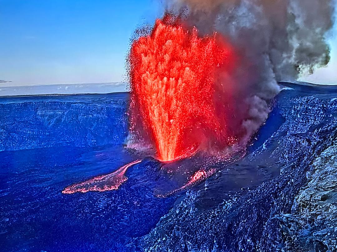
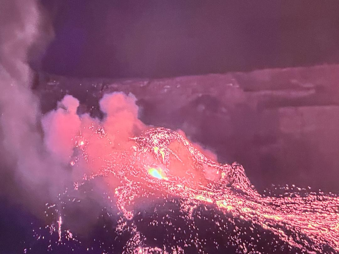
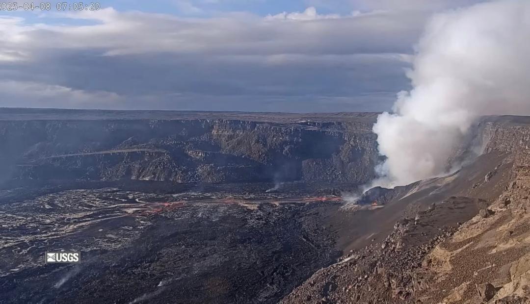
The lava lake inside Halema'uma'u continues to slowly rise at the summit of Kīlauea, fed by the ongoing effusion at the western fissure of the collapse pit. Here are the estimates on depth of the lava lake provided by USGS, and their handy-dandy range finder. - Dec 21: 289 feet deep - Dec 22: 440 ft - Dec 26: 577 ft - Dec 30: 597 ft - Dec 31: 593 to 608 ft deep, some fluctuations - January 1: 620 ft - Jan 2: 620 ft -- :HAWAIIAN VOLCANO OBSERVATORY DAILY UPDATE: -- January 2, 2020 Activity Summary: Lava activity is confined to Halemaʻumaʻu with lava erupting from vents on the northwest side of the crater. Early this morning (Jan. 2), the lava lake was 189 m (620 ft) deep with a narrow black ledge around it. SO2 emission rates were still elevated. Summit Observations: Sulfur dioxide emission rate measurements made Thursday (Dec. 31) were about 6300 t/d and in the range 3,000-6,500 t/d since Sunday (Dec. 27)--the same range of values that was common for the pre-2018 lava lake. Summit tiltmeters recorded weak deflationary tilt over the past day. Seismicity remained elevated but stable, with steady elevated tremor and a few minor earthquakes. East Rift Zone Observations: Geodetic monitors indicate that the upper portion of the East Rift Zone (between the summit and Puʻu ʻŌʻō) contracted while the summit deflated. There is no seismic or deformation data to indicate that magma is moving into either of Kīlauea’s rift zones. Halemaʻumaʻu lava lake Observations: The west vents spattered while erupting lava flowed through crusted-over channels into a lava lake within Halemaʻumaʻu crater. The lava lake was 189 m (620 ft) deep early this morning (Jan. 2). The most recent thermal map (Dec. 30) provided the lake dimensions as 800 by 530 m (875 by 580 yds) for a total area of 33 ha (82 acres). The narrow (10-30 m or 11-33 yd) ledge around the lake was about 1-2 m (1-2 yds) above the active lake surface (https://www.usgs.gov/maps/december-30-2020-k-lauea-summit-eruption-thermal-map). Over the past day, the main island of cooler, solidified lava floating in the lava lake drifted to the west before settling in front of the west lava source filling the lake around midnight, while the other 10 or so small islands remained relatively stationary around the east end of the lake. The main island measured about 250 m (820 ft) in length, 135 m (440 ft) in width, and about 3 ha (7 acres) in area based on the Dec. 30 thermal map. Measurements Friday afternoon (Jan. 1) showed that the island surface was about 6 m (20 ft) above the lake surface. Source: https://www.usgs.gov/volcanoes/kilauea/volcano-updates Images from USGS-HVO Image 1: The western fissure in Halemaʻumaʻu wall remains active. Glowing vents and a prominent spatter cone are visible in this photo, which shows some spattering at the vent. This view looks steeply down from Kīlauea's west caldera rim, and the lava lake surface is visible in the background. USGS photo by B. Carr on 12/31/2020. Image 2: Halema'uma'u at 1:30am this morning. Image 3: Graph showing the depth of the Halema‘uma‘u crater lava lake at Kīlauea Volcano's summit. HVO scientists measure the Kīlauea summit lava level using a small laser rangefinder mounted on a tripod. Measurements began one day after the start of the eruption on December 20, 2020 and are updated by geologists making observations from the field. HVO field crews use a laser range finder to measure the vertical distance between points of known elevation and the lava lake surface. Multiple measurements are taken and the average solution is plotted. Variations in plotted depth can occur due to alternating field crews, the uneven surface of the lava lake, or laser rangefinder returns on gas rather than the lake surface.

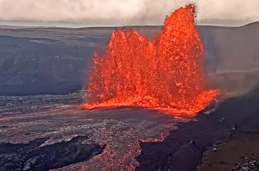
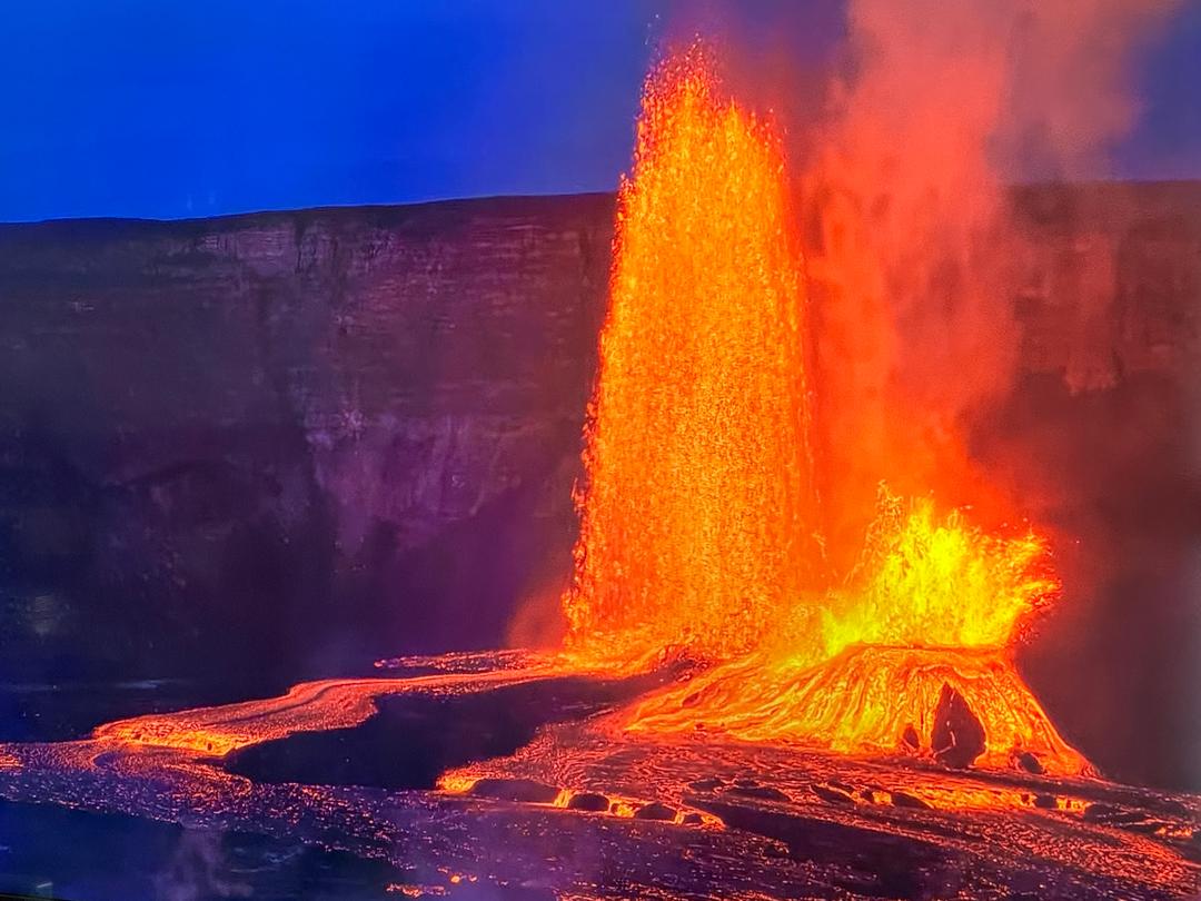
I read somewhere else that it is building a cone, and this clearly looks like it does (Image 1)
Jan 2, 2021